
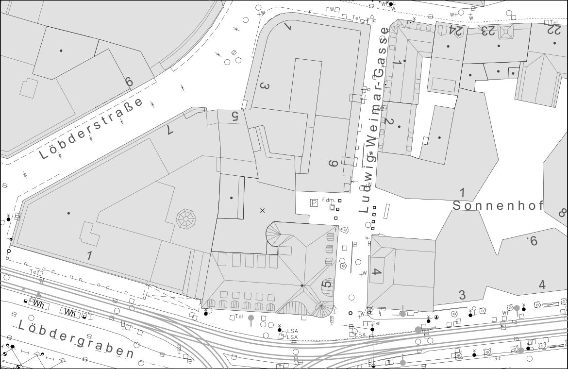
Digital City Map - Excerpt
A digital city map is available for the entire built-up area of the city of Jena.
Details
| Technical Basis | The city map is based on Thuringia’s official UTM Z32 coordinate system. The underlying elevation system is DHHN2016. The original dataset is stored in a one-kilometer grid. The data is sorted into layers according to its object properties. The individual layers are described in the Digital Geodata Guidelines (->Downloads). |
| Availability / File Format | Multicolor printout or delivery as a DXF, DGN, DWG, or raster file, and as a PDF document. |
| Delivery | Via email, data upload, by mail, or in-person pickup. |
| Processing Time | Within 3 business days. |
Documents
The content can be customized to meet the customer's needs. Please use the order form (->Forms) to specify your requirements.
Hours of Operation
| Tag | Zeiten |
|---|---|
| Montag | 08:00 – 12:00 und 13:00 – 16:00 Uhr |
| Dienstag | 08:00 – 12:00 und 13:00 – 16:00 Uhr |
| Mittwoch | keine Sprechzeiten |
| Donnerstag | 08:00 – 12:00 und 13:00 – 18:00 Uhr |
| Freitag | 08:00 – 12:00 Uhr |
Fees
Please refer to the general fee schedule (->Downloads) for the fees.
Contacts
| Name | Funktion/Bereich | Kontakt |
|---|---|---|
| Mr. Florian Schafrik | Engineering Surveying and Land Readjustment Clerk Geoinformation Team |
E-Mail: geoinformation@jena.de Telefon: 0049 3641 49-5381 Raum: 01.00_05 |