
Order thematic cards
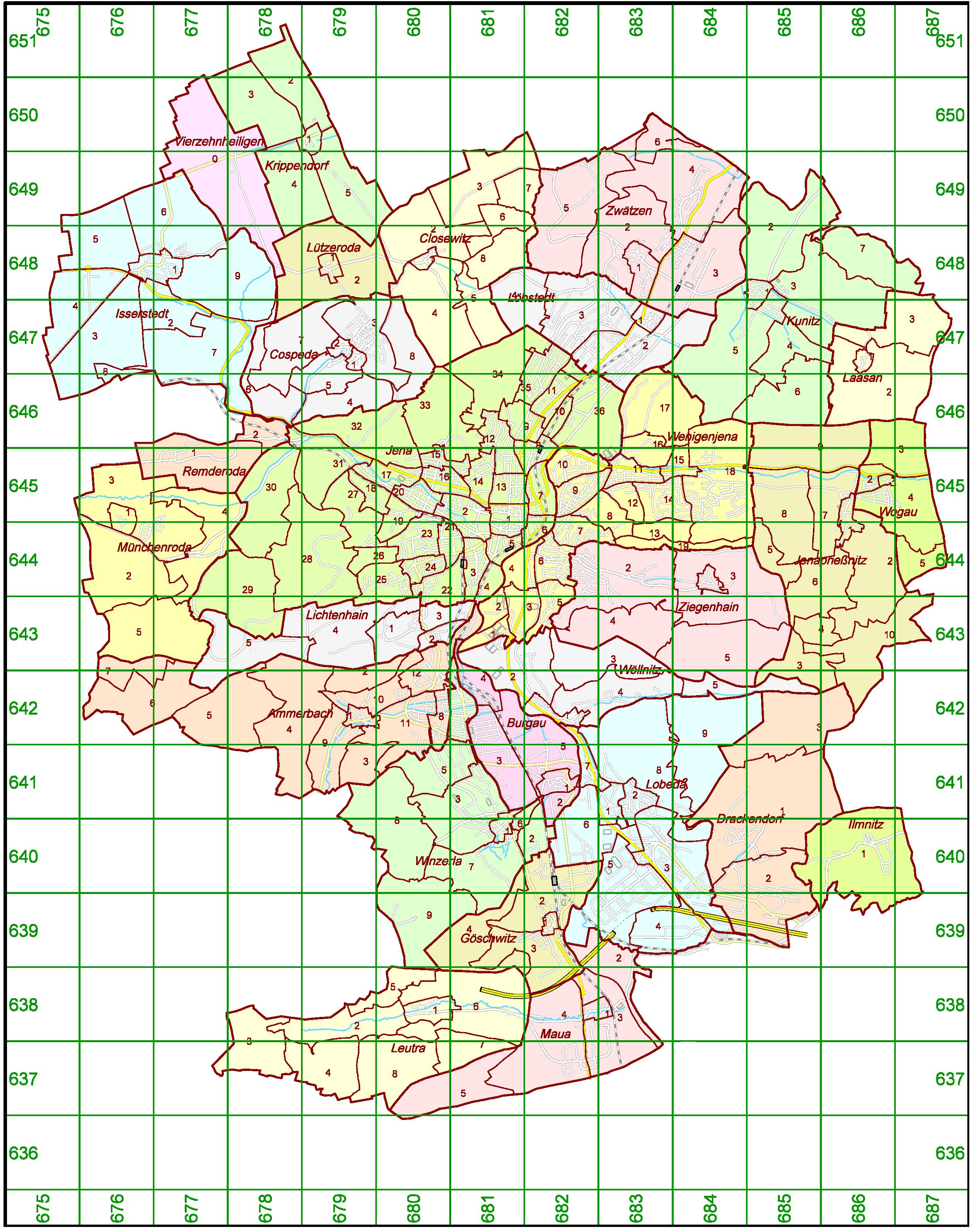
Thematic maps are created both in the Geoinformation team and in the city's specialist services. Examples of maps from our team are the cadastral map overview, the map of the statistical districts and green space maintenance plans.
In the city's specialist services, for example, the land use plan or the map of flood protection areas were created.
Details
| Technical basis | The thematic maps are based on the 1:10,000 topographic map, the official city map or the digital city map. |
| Availability / file format | Delivery of the products as a multicolored printout or in digital form as a vector file (dgn, dxf or dwg) or as a raster file. |
| Transmission | By e-mail, data upload, by post or by collection. |
| Processing | Within 3 working days. |
Documents
The content can be adapted to the customer's requirements. Please use the order form (-> Forms) to specify your requirements.
Opening hours
| Tag | Zeiten |
|---|---|
| Montag | 08:00 – 12:00 und 13:00 – 16:00 Uhr |
| Dienstag | 08:00 – 12:00 und 13:00 – 16:00 Uhr |
| Mittwoch | keine Sprechzeiten |
| Donnerstag | 08:00 – 12:00 und 13:00 – 18:00 Uhr |
| Freitag | 08:00 – 12:00 Uhr |
Fees
Please refer to the general overview of fees (-> Downloads).